A low-pressure system brings cooler and wet weather to Estonia from Thursday
On Thursday, a low-pressure system moves across the Baltic countries towards St. Petersburg, bringing rain and thunderstorm risk to Estonia. Cloud cover will thin throughout the day and conditions will improve by evening, but the weekend will be rainy again. Daytime temperatures will range from 16-24°C.
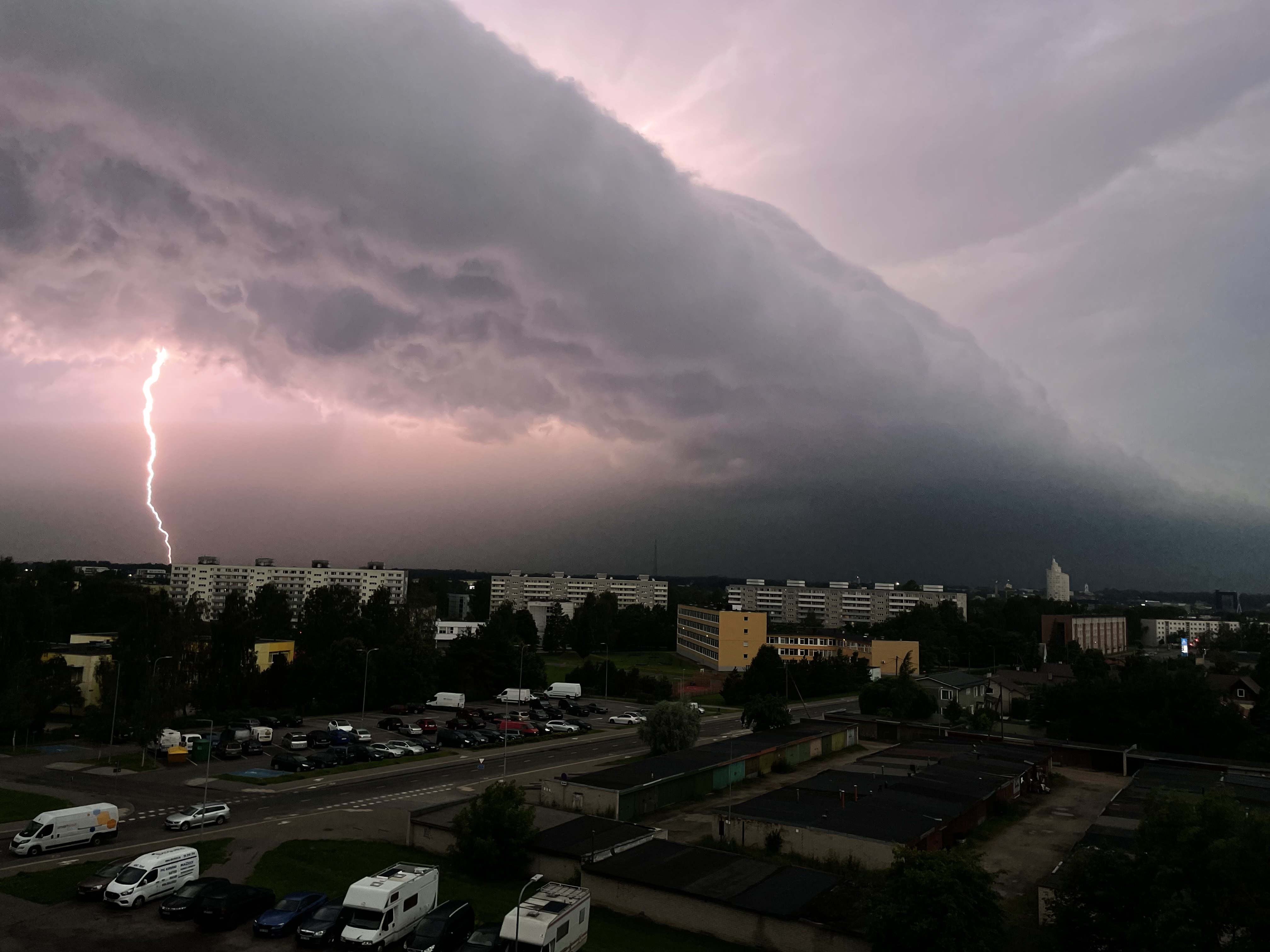
EstoniaOn Thursday, a low-pressure system moves across the eastern edge of the Baltic countries towards St. Petersburg, bringing rain showers and thunderstorm risk to Estonia. In the morning, the sky will be cloudy with rain falling across the country, but as the day progresses, clouds will start to thin from the west. Along the Virumaa coast, the northeast wind may gust up to 14 m/s in places, while elsewhere wind will be relatively light.
In the afternoon, cloud cover will break up in the western part of the mainland, and as precipitation ends, air temperature will rise to 21°C, reaching up to 24°C in western Estonia. Under rain clouds and along the coast, temperatures will remain around 15-16°C. By evening, the low-pressure system will move past Lake Ladoga, atmospheric pressure will rise, and the sky will clear with the support of a high-pressure ridge.
During the night into Friday, rain will spread across the entire country with thunderstorm risk. A northerly wind will blow at 2-8 m/s, and night-time temperatures will range from 13-19°C.
On Friday, new rain clouds will arrive first over the islands and then spread to the mainland, with showers and thunderstorms expected during the day. Over the weekend, night-time rain showers will be more scattered, but daytime precipitation will be widespread again. The night-time minimum will drop close to 10°C, while daytime temperatures will barely reach 20°C. On Sunday, daytime warmth will be a few degrees higher.
Open in app →