BBC Uses AI to Track US Military Warships in Satellite Images
The BBC Verify team has developed an artificial intelligence model capable of tracking the US aircraft carrier Abraham Lincoln through satellite imagery. The technology demonstrates how modern AI can identify and monitor military assets using publicly available satellite data, raising questions about surveillance capabilities and military operational security.
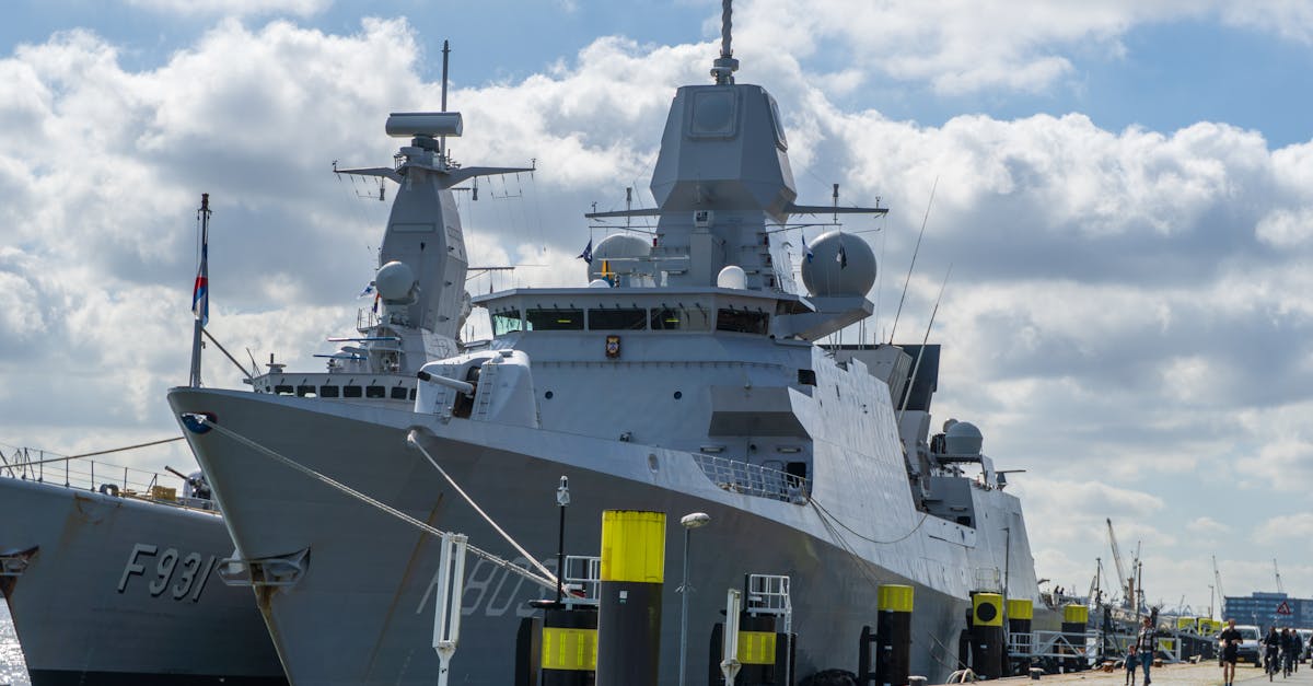
TechnologyThe BBC Verify team has successfully created an artificial intelligence system designed to track military vessels using satellite imagery analysis. The project focused on monitoring the USS Abraham Lincoln, a Nimitz-class aircraft carrier belonging to the United States Navy, by analyzing satellite images with varying levels of clarity and resolution.
The AI model was trained to identify distinctive features of the aircraft carrier even when images were pixelated or partially obscured. This breakthrough demonstrates how machine learning algorithms can extract meaningful intelligence from low-resolution or compromised visual data that would be difficult for human analysts to interpret reliably.
The development raises significant implications for maritime surveillance and military security. The ability to track major warships using publicly accessible satellite imagery suggests that military movements may be more observable than previously assumed. The USS Abraham Lincoln, one of the most advanced aircraft carriers in the world, operates globally and its location has traditionally been considered sensitive information for national security purposes.
This project illustrates the dual-use nature of artificial intelligence technology. While the same capabilities could be employed for legitimate monitoring and transparency purposes, they also highlight vulnerabilities in operational security for military assets. The BBC's work underscores how rapidly advancing AI technology is changing the landscape of what can be observed and tracked in the modern world.
The research comes at a time when satellite imaging and artificial intelligence are becoming increasingly sophisticated, making it easier for journalists, researchers, and potentially adversarial actors to monitor military activities in real-time.
Open in app →