Estonia's cities and road network: a comprehensive overview
Estonia's urban and transport geography reflects centuries of historical development, from medieval Hanseatic trade hubs to modern logistics corridors. The country's five major cities, Tallinn, Tartu, Narva, Pärnu, and Kohtla-Järve, each play distinct regional roles, linked by a radial road network centred on the capital. Future projects such as Rail Baltic and the rise of digital mapping tools are set to reshape how Estonians move and connect.
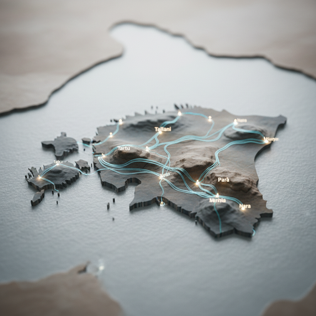
EstoniaEstonia may be a small country, but its network of cities and roads tells a rich story of geographic logic, historical layering, and modern ambition. A glance at the map reveals more than dots and lines, it shows how settlement has clustered along the northern coast and around major transport nodes, and why that pattern persists to this day.
From Hanseatic towns to modern hubs
Estonia's urban structure did not emerge overnight. Medieval Hanseatic cities such as Tallinn and Tartu set the foundations for trade and culture for centuries. The industrial revolution and the expansion of the railway in the 19th century gave rise to further urban centres, Narva, Valga, and Tapa among them, each developing as key transport junctions that remain relevant today.
Today, urbanisation in Estonia is dominated by Tallinn's gravitational pull. The capital's surroundings are densifying rapidly, while more distant regions seek ways to remain economically viable. The map makes this polarisation plain: the northern coast and the Tartu area are densely settled, while southern and western Estonia are more sparsely populated.
The five cities that shape the map
Understanding Estonia's map requires knowing the roles of its five largest cities, each of which acts as a regional engine providing services, employment, and cultural value.
Tallinn, the capital, is the country's primary economic motor and the point where road, rail, air, and sea transport converge. Its role as both a domestic and international hub is indispensable.
Tartu, the second city, is the heart of southern Estonia, a balance of academic life and modern enterprise. The road network is deliberately designed to keep Tartu accessible from every corner of the country.
Narva, Estonia's easternmost major city, plays a critical role in regional industry and international transit. Its position on the border river has shaped its development throughout history.
Pärnu, known as Estonia's summer capital, is strategically important for both tourism and logistics, serving as a key stop on the Via Baltica corridor that links Estonia to its southern neighbours and the rest of Europe.
Kohtla-Järve, an industrial centre in Ida-Virumaa, remains closely tied to the region's historic oil-shale industry and forms an important node in the county's transport network.
The road network: arteries of the nation
Estonia's road strategy is built on a radial system radiating from Tallinn in several key directions. The T1 (Tallinn-Narva) highway is the main link to Ida-Virumaa and forms part of the European trunk road network. The T2 (Tallinn-Tartu-Võru-Luhamaa) route is one of the busiest arteries in the country, connecting the capital to the second city and the southeastern corner. The T4 (Tallinn-Ikla), better known as the Via Baltica, is of critical importance for international transit.
Beyond these primary routes, a web of support roads connects smaller towns to each other and to the main corridors. The quality of these connections correlates directly with economic performance: the better a town is linked to the main transport corridors, the greater its potential for business development and population retention.
A map that keeps changing
Estonia's cities do not move, but the road network is in constant evolution, new sections, bypasses, and transport nodes are being developed to meet contemporary demands. Bypasses, for example, redirect transit traffic away from town centres, making urban spaces quieter, cleaner, and safer while preserving transport efficiency.
Looking ahead, Rail Baltic stands out as the most transformative infrastructure project on the horizon. The new high-speed rail line, running from Tallinn through Pärnu southward, will reshape accessibility for multiple cities and open new possibilities for passenger travel and logistics.
Digital maps and the future of navigation
The concept of a "map" has itself been transformed. Digital mapping applications, from Google Maps to the Estonian Land Board's geoportal, now offer dynamic, real-time information on traffic jams, road works, and public transport schedules. This has boosted mobility and made travel between Estonian cities more convenient than ever before.
Yet the broader picture remains essential. Understanding how Estonia is structured as a whole, how its ports at Tallinn, Muuga, Paldiski, and Pärnu feed into road and rail networks, helps planners, businesses, and travellers alike. Estonia's position on the Baltic Sea has made it an important transit corridor, and decisions made at the national level about road renovation or new bypasses have direct consequences for the quality of life in every city on the map.
Emerging technologies such as autonomous vehicles and smart traffic management systems are expected to further change how roads are used. Urban planning is also placing greater emphasis on cycling infrastructure and public transport integration, adding new layers to a map that has always been, at its core, a living document of how Estonians choose to build and inhabit their country.
Open in app →