Strengthening El Niño to keep Europe warmer until spring 2027
Pacific surface water temperatures have risen significantly in recent weeks, indicating the onset of a strong El Niño climate phase. Copernicus climate service models predict Europe faces an unusually warm autumn, with above-normal temperatures persisting until spring 2027. The new El Niño will affect food production worldwide and could intensify humanitarian crises in Africa and South America.
TechnologyPacific surface water temperatures have been rising noticeably in recent weeks, signalling the start of a new El Niño climate phase. According to Copernicus climate service models, sea surface temperatures could rise up to four degrees above long-term average in some areas, making this emerging cycle one of the strongest El Niños on record.
What is El Niño and how does it work?
El Niño Southern Oscillation does not create or destroy energy, but redistributes it between the tropical Pacific Ocean's surface layer and the atmosphere above. During La Niña periods, heat is pushed into the ocean depths, which seemingly slows global warming. In El Niño years, warm water rises to the surface and transfers energy to the air mass above it. These phases alternate on average every two to seven years.
This time, the transition from the cooler La Niña phase to a strong El Niño occurred over two years. The previous warm phase began in summer 2023 and lasted until April 2024. That very cycle made 2024 the warmest year on record, and for the first time exceeded the Paris Agreement's limit, which stipulates that global average temperature should not rise more than 1.5 degrees above pre-industrial levels.
Impact on Europe and Estonia
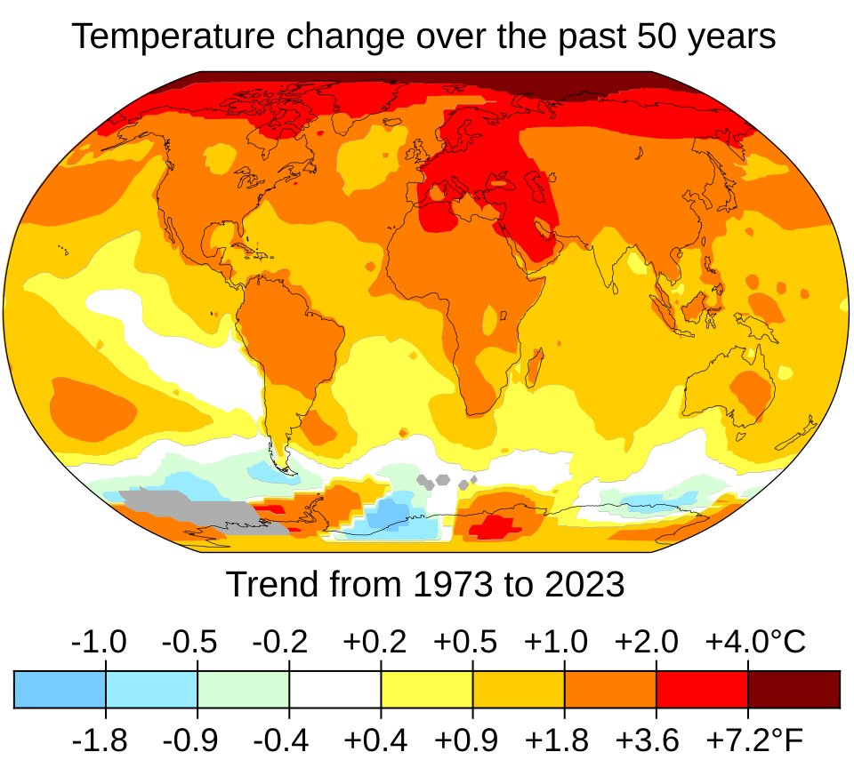
Historically, strong El Niño years have often brought cooler and wetter autumns to Europe. However, the emerging climate cycle is likely to break this tradition. Copernicus climate service forecasts indicate that Europe faces an unusually warm autumn, with above-normal temperatures not declining until spring 2027.
Changes occurring in large water masses disrupt the planet's precipitation distribution and wind patterns, rapidly throwing the climate of many regions into turmoil. Warmer than normal conditions will soon take hold across North and South America, Africa, and the Eurasian continent, according to models.
Food production and humanitarian crises
The temperature rise also disrupts global food production. A report by the European Commission's Joint Research Centre warns of prolonged droughts in Australia, Southeast Asia, and several sub-Saharan African regions, while shifting air currents will bring significantly more rain than usual to East Africa and parts of the Americas.
Food prices will respond differently: soybean and winter wheat prices are likely to fall on the global market, rice prices will fluctuate, and analysts foresee only modest increases for maize. Durum wheat reacts most sharply, with its price expected to spike on the world market.
Reduced food availability will hit hardest those countries already struggling with internal crises. According to forecasts, El Niño-driven drought conditions will fuel conflict in Chad, Sudan, and Somalia. In South America, the strong El Niño will worsen the humanitarian situation for longer periods in Venezuela, Ecuador, and Haiti.
Scientists warn of unprecedented situation
To produce more complex long-term forecasts, researchers used climate simulations spanning thousands of years and fresh data from satellite Earth observation systems. However, the report's authors note that for the most radical developments, there is no historical precedent in the world to rely on. Early warning systems created to protect people living in crisis zones are therefore keeping many Central African countries in a state of persistent heightened alert.
Open in app →